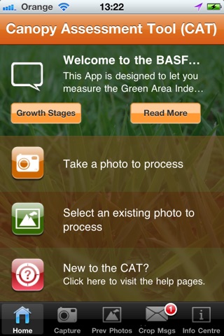


CAT app for iPhone and iPad
The BASF CAT is a revolutionary tool to help Farmers and Crop Advisors protect the yield of winter cereals by assessing crop nitrogen content and crop lodging risk.
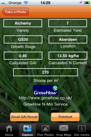
Assessing a crops canopy Green Area Index (GAI) precisely can be tricky but its an important indicator for accurate fertiliser and agrochemical application timings. The BASF CAT (Canopy Assessment Tool) developed for winter cereals allows an accurate and consistent assessment of crop nitrogen content (in kgN/ha) from its GAI and crop lodging risk from a digital photograph.
The BASF CAT is a must have for Crop Advisors and Growers, providing a tailored field report on crop nitrogen content (in kg/ha) measured for fertiliser calculations, crop
Lodging Risk and a tailored Plant Growth Regulator (PGR) programme.
Just 3 simple steps to YOUR report:
Step 1: Take a photo of your crop
Step 2: Upload the crop photo in the BASF CAT
Step 3: Get your tailored field report
Get started today – download our smart, quick and easy to use tool.
The main features of the CAT are:
* A GAI tool for use in winter wheat……..winter barley coming soon!
* A field by field risk assessment of crop lodging risk at GS 30-31, a tailored PGR programme and crop nitrogen content (in kg/ha) GS 12-32
* Calibrated to provide shoot numbers per sqm for winter wheat at GS 30
* Linked to GrowHow’s N-Min Service for subsequent fertilizer programmes
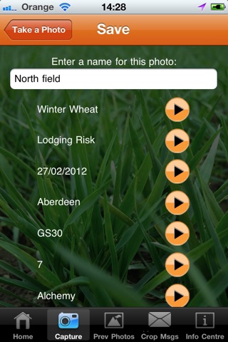
* Save function - crop photos and associated crop reports
* Process field photos instantly for immediate crop report or save and process at a more convenient time
* Export your risk assessment by email to customers / colleagues at the touch of a button.
* Wheat growth stage identification guide for 30 and 31 to help you use the tool at the right crop growth stage for assessment of lodging risk
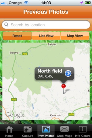
* Automatic recording of upload location by GPS for GAI map
* Reference photos available and guidelines on taking photographs
* Simple and fast interface